6 Incredible Stops on the Avenue of the Volcanoes Ecuador: The Complete Road Trip Guide
Avenue of Volcanoes
- 200 km between Quito and Riobamba along the Pan-American Highway through volcanic corridor
- Drives through multiple volcanic peaks: Cotopaxi, Tungurahua, Chimborazo all visible/accessible
- Route takes 4-6 hours non-stop but designed for multiple stops and day hikes
- Best months: June-August and December-January for clear volcanic views
- Major stops: Latacunga, Ambato, indigenous markets, national parks, viewpoints
Introduction
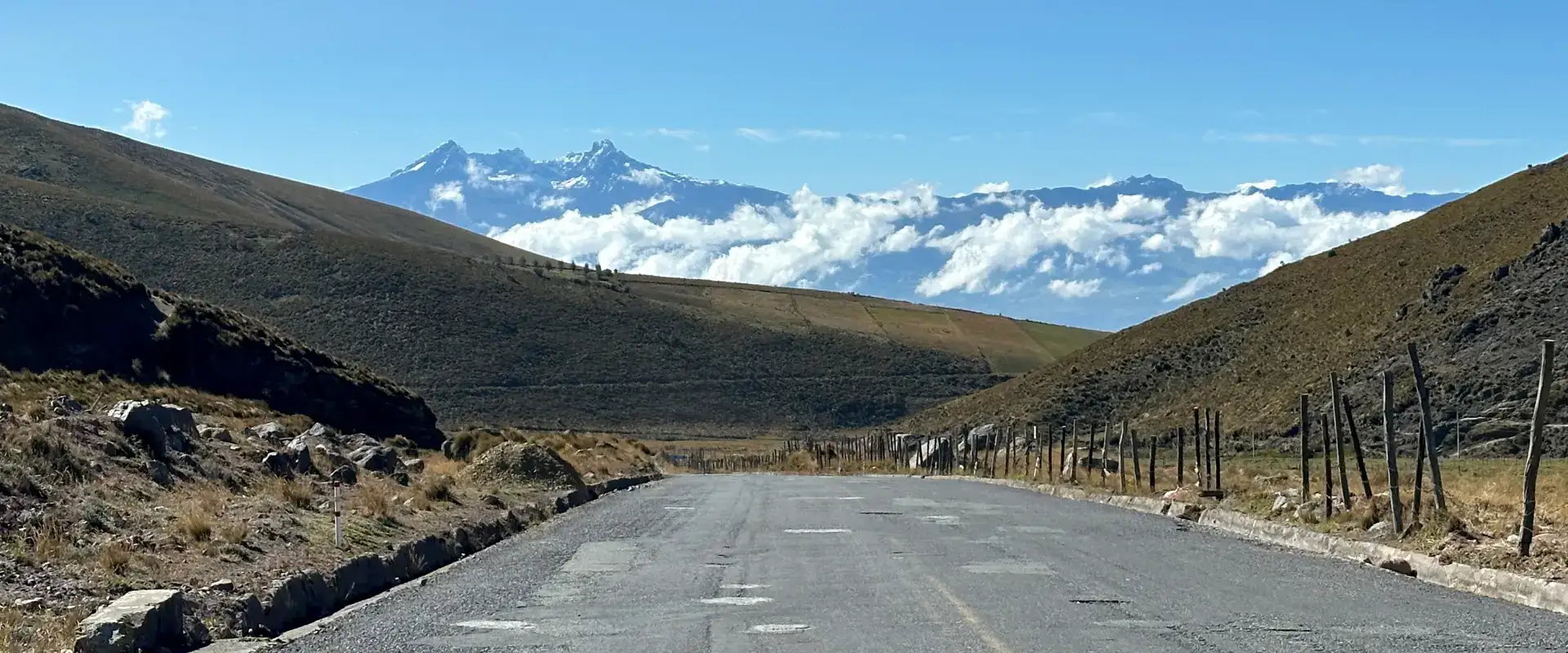
There’s a stretch of highway in Ecuador where you can see five volcanoes on a clear morning. Five. You’re driving. Farming communities are working the slopes. Clouds roll through valleys between peaks. That’s the Avenue of the Volcanoes Ecuador – the Pan – American Highway between Quito and Riobamba. 200 kilometers of pure volcanic theater. I’ve driven this road hundreds of times, and it never gets old. Every season changes it. June-August brings crisp mountain air and clear views. December-January brings similar clarity.
The rest of the year? Clouds, mist, and mystery. But here’s the thing about the Avenue: it’s not about speed. You can rush from Quito to Riobamba in four hours. But that road’s designed for slow travel. Stop at viewpoints. Hike the national parks. Eat in mountain towns. Talk to locals farming volcanic slopes. That’s when the Avenue reveals its real character.
The Route: North to South Geography
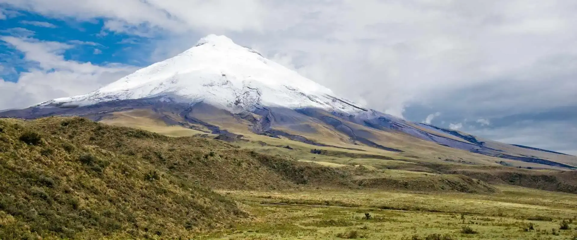
Start in Quito at 2,850 meters. Head south on the Pan-American Highway. The road climbs slightly through suburban Quito, then opens onto highland terrain. Within 30 kilometers, you’re in the real mountains The inter-Andean valley appear—that corridor of land between two cordilleras (mountain chains). On your left (east) rises the Eastern Cordillera. On your right (west) rises the Western Cordillera. Between them: the avenue where we drive and where volcanoes emerge. Roughly 30 kilometers south, you’ll start seeing Cotopaxi. First it’s just snow on a distant cone. Clear mornings? That perfect pyramid stops your breath.
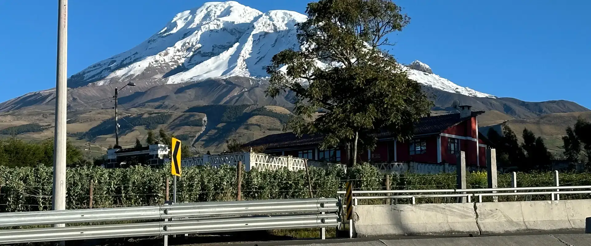
Continue south through Latacunga (90 kilometers from Quito), where roads diverge toward Cotopaxi National Park. The highway continues downhill, and Cotopaxi disappears behind terrain. Tungurahua emerges. Around 120 kilometers south in Ambato, you’ve passed several volcanic access points. Push another 70 kilometers, and Ckimborazo dominates the landscape. The route ends in Riobamba, capital of Chimborazo Province. The entire drive’s never more than a few hundred meters elevation change overall—you’re staying in the highland corridor, watching mountains rise around you. Not sure how to fit this into a trip? Tell us your dates and we will map it out.
Latacunga: First Major Stop & Cotopaxi Gateway
Latacunga sits 90 kilometers from Quito, population about 65,000. It’s Ecuador’s capital of passion fruit and one of the inter-Andean valley’s most important colonial cities. More importantly for travelers, it’s Cotopaxi National Park’s gateway. The town itself has character—colonial architecture, indigenous markets, a main plaza that feels genuinely lived-in rather than touristy. Hotels range from budget hostels to decent mid-range options.
Many travelers stop here for the night, exploring the market in the morning, then heading to Cotopaxi. The Pan-American runs right through town, so stopping’s natural and easy. From Latacunga, Cotopaxi National Park’s about 30 minutes east. You can do a day trip to the park, hike Laguna de Limpiopungo (2-3 hours), and return to Latacunga for dinner. That’s the flow many travelers follow.
Cotopaxi National Park Detour
Most Avenue travelers take this detour. Head east from Latacunga to the park (signposted). Spend 4-6 hours doing the Limpiopungo loop hike or exploring lower zones. See wild horses. Photograph Cotopaxi’ perfect cone. Maybe camp overnight if you’re feeling adventurous. This adds a day to your road trip but changes everything about the experience. Instead of just seeing Cotopaxi from a car, you’re walking in its ecosystem. You’re watching birds. You’re breathing that thin air. You’re understanding why indigenous peoples considered this mountain sacred. Then head back to the highway and continue south.
The Mid-Section: Between Latacunga & Ambato
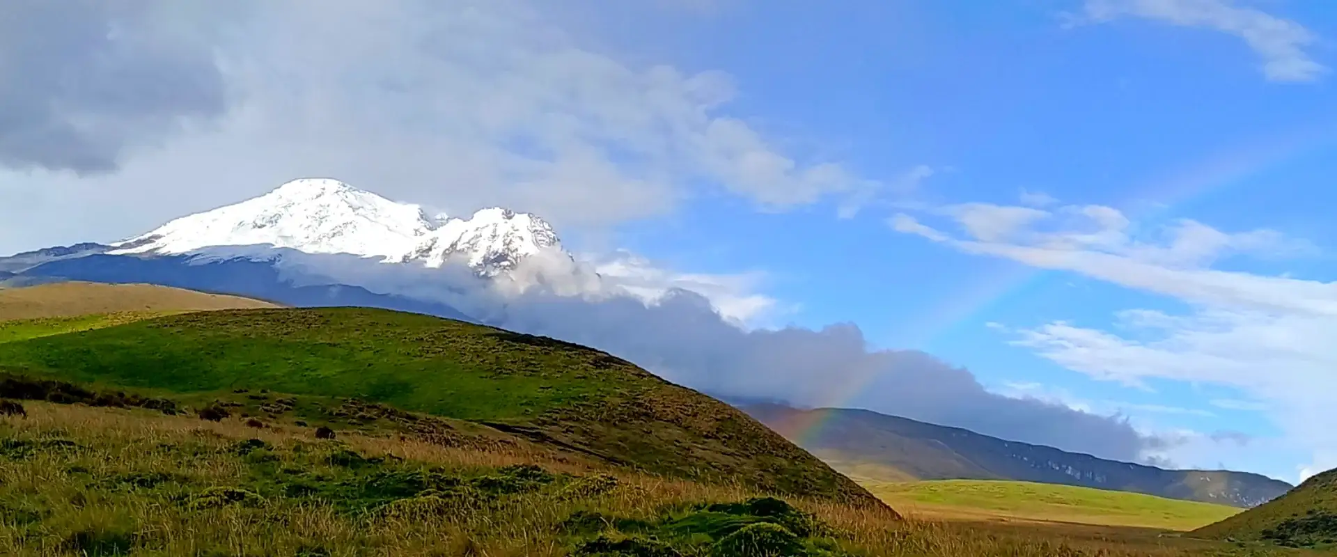
After Latacunga, the highway continues south toward Ambato, about 70 kilometers away. This section feels quieter. Smaller towns appear: Salcedo, Pelileo. Less dramatic than the northern section, but the landscape’s still beautiful. Tungurahua volcano rises in the distance. The inter-Andean valley opens up. On clear days, you see multiple peaks simultaneously.
This is where the Avenue reveals its name—you’re literally driving through a corridor of volcanoes. Farming communities dot the slopes. Real Ecuador, not tourist Ecuador. You could stop in any of these small towns, grab food, interact with locals, and get a sense of mountain-town life. Many travelers miss this section because they’re focused on the “big” stops. That’s a mistake. This quiet stretch has its own beauty.
Tungurahua: The Active Volcano
Tungurahua (5,016 meters) isn’t as high as Cotopaxi or Chimborazo, but it’s arguably the most temperamental. The volcano erupted regularly from 1999-2016 and occasionally shows activity still. From the highway,you see the volcano frequently, especially approaching or leaving Ambato. Unlike Cotopaxi (which has a national park with established trails), Tungurahua’s lower slopes are mostly accessible to local guides and experienced hikers. You won’t summit Tungurahua casuallz—t it requires mountaineering skills and current knowledge of volcanic status. But you can see it, photograph it, and understand its position in Ecuador’s volcanic landscape. Many travelers plan Tungurahua climbs for a full day or overnight trip, departing from Ambato or nearby Baños(
Ambato: Mid-Route Hub Town
Ambato sits roughly 170 kilometers from Quito, midway along the Avenue. It’s the capital of Tungurahua Province, population around 130,000. The city’s modern, with real infrastructure: markets, restaurants, hotels across all price ranges. Most travelers use Ambato as a rest point rather than a destination. Grab food, use a decent hotel, explore the market if timing’s right (weekends are best). The city itself isn’t super touristy, which makes it authentic. From Ambato, day trips are possible to Tungurahua foothills or to nearby Baños (30 minutes away), which is Ecuador’s adventure capital. Some travelers base themselves here for 2-3 days, exploring Tungurahua, Baños, and local culture. Most push through in 2-3 hours and continue south.
The Southern Section: Ambato to Riobamba
The final 70 kilometers to Riobamba showcase Ecuador’s best volcanic landscape. Chimborazo appears as you drive south. At first it’s distant. Then it grows. Then it dominates everything. On clear days, you can see Chimborazo, Tungurahua, and Cotopaxi all at once—a three-volcano stacked view that’s hard to photograph adequately because it’s so grand. The highway continues downhill through smaller communities. Guaranda appears on the western side—a charming colonial town worth a 2-3 hour stop if you’re not rushed. Indigenous markets here are still colorfully authentic. Continue to Riobamba, and you’ve completed the Avenue.
TWO WEEKS, FULLY PLANNED
14 Day Ecuador and Galapagos Tour: Volcanoes, Cuenca and the Islands
Quito, Cotopaxi, Quilotoa, Chimborazo, Ingapirca and Cuenca, then a week on Santa Cruz and Isabela with a yacht day.
From $3,390 per person
View itineraryCuenca, the Volcanoes and the Galápagos: 14 Day Tour
Viewpoints & Photo Stops
The Avenue’s best maintained secret is that roadside viewpoints appear randomly. Some have signs. Many don’t. If you see other cars parked, stop—locals know where good views happen. The Pan-American Highway crosses several high passes where you get sweeping valley views. Around kilometer marker 100 (roughly halfway), several signed viewpoints appear. The view from here captures multiple volcanoes. Morning light is golden. Afternoon light turns dramatic. Early morning or late afternoon make the best photographs. The common tourist mistake is driving straight through without stopping. Those viewpoints change the entire experience. Pull over. Spend 20 minutes. Look around. That’s not wasted time—that’s the whole point.
Avenue of Volcanoes: Major Stops & What Awaits
| Town/Area | Distance from Quito | Primary Volcano | Key Activities | Time to Spend |
|---|---|---|---|---|
| Latacunga | 90 km | Cotopaxi | Market, colonial center, park gateway | 2-4 hours or overnight |
| Cotopaxi National Park | 120 km (via Latacunga) | Cotopaxi (5,897m) | Hiking, wildlife viewing, photography | 4-6 hours day trip |
| Ambato | 170 km | Tungurahua | Market, restaurants, exploration base | 1-3 hours or overnight |
| Baños (nearby Ambato) | 200 mk | Tungurahua | Waterfalls, adventure sports, hiking | 4-8 hours side trip |
| Guaranda | 210 km | Chimborazo | Colonial town, market, viewpoints | 2-3 hours |
| Riobamba | 270 km | Chimborazo | Colonial center, mountain hub, refuge point | 2-4 hours or overnight |
Essential Avenue of the Volcanoes Ecuador FAQ
- The Avenue spans roughly 200 kilometers between Quito and Riobamba
- Elevation stays between 2,700-3,200 meters throughout the drive
- Non-stop drive time: 4-6 hours (Quito to Riobamba)
- Multi-stop road trip time: 2-4 days comfortable, 5-7 days thorough
- Cotopaxi, Tungurahua, and Chimborazo are all visible/accessible from the route
Is a rental car necessary for the Avenue?
Not required. Buses run regularly from Quito to Ambato and Riobamba. But they make limited stops and skip viewpoints. A rental car gives flexibility to stop whenever volcanoes appear. Budget-friendly option: join a group tour. Happy medium: hire a driver in Quito for 2-3 days.
What’s the best season to drive the Avenue?
June-August and December-January. Dry seasons mean clear views and stable driving conditions. Early mornings (6-9 a.m.) always offer clearest views. Rainy season (October-May) brings clouds, mist, and muddy roads. You can visit anytime, but the experience varies hugely.
Can I combine the Avenue with volcano climbing?
Absolutely. Take the Avenue route, stop at Latacunga to visit Cotopaxi National Park (day hikes or climbing). Stop at Ambato to explore Tungurahua. End in Riobamba and climb Chimborazo. Many travelers combine road trip with one serious climb.
Q: Are the roads safe to drive?
Pan-American Highway is generally safe. Roads are paved but mountainous—narrow curves, steep sections, significant elevation changes. Drive carefully, especially in rainy season. Many travelers prefer hiring a driver rather than self-driving at altitude on unfamiliar roads.
Ready to Drive the Avenue?
The Avenue of Volcanoes connects everything. Start with our Cotopaxi National Park guide for that detour. Learn about climbing the peaks in our Cotopaxi hiking guide. Understand all options with Chimborazo vs. Cotopaxi comparison. Get the bigger picture in our complete guide to Ecuador’s 84 volcanoes. Plan your route. Pack good snacks. Start early. Watch the mountains emerge.