Chimborazo Ecuador: How to Visit the Closest Point to the Sun
Cuenca, the Volcanoes and the Galápagos: 14 Day Tour
Chimborazo Ecuador: Location and How to Get There
- Chimborazo is in Chimborazo Province, central Ecuador, on the Avenue of Volcanoes
- Height: 6,263m (20,548 ft)—Ecuador’s highest point, farthest from Earth’s center than Everest
- Distance: 270 km south of Quito, 6+ hour drive to get there
- Main access town: Riobamba (about 35 km from mountain)
- UNESCO Biosphere Reserve since 2002, with protected forest zones at lower elevations
Introduction
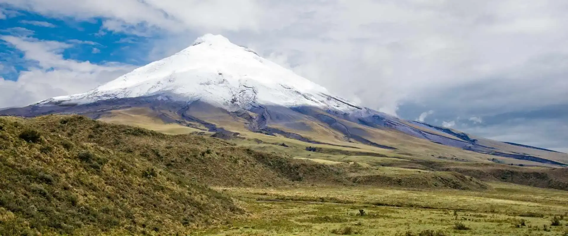
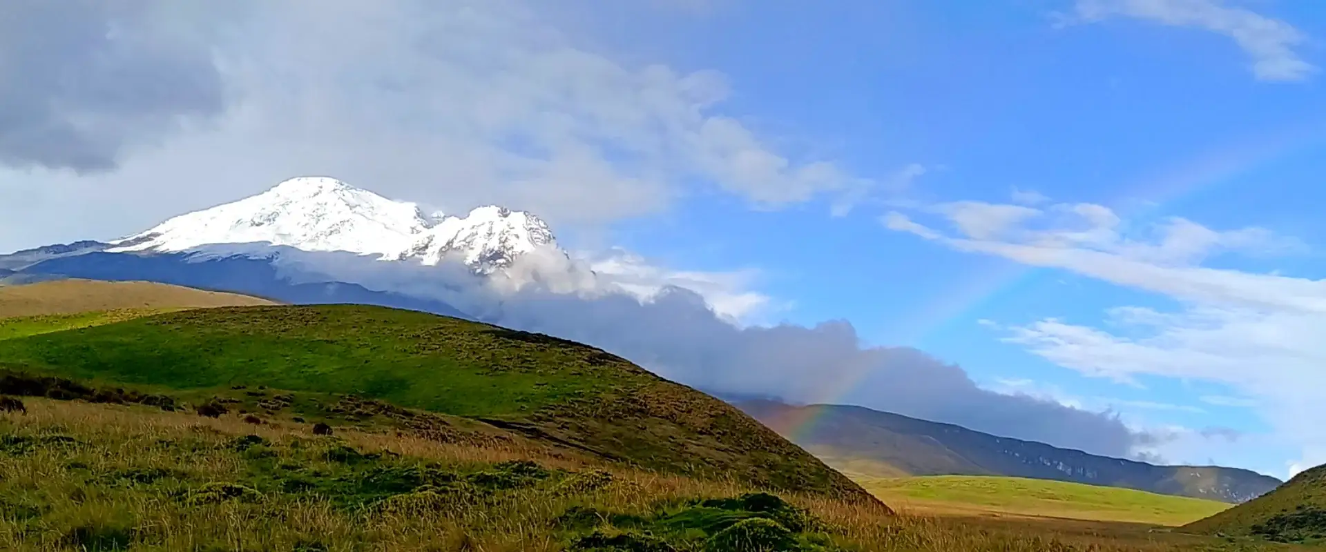
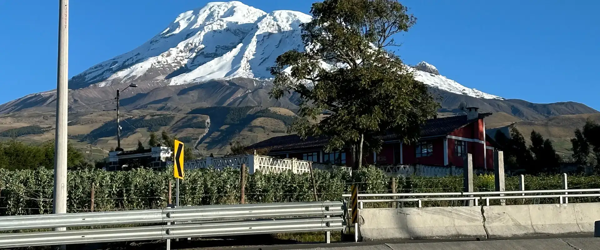
Chimborazo Ecuador is home to the highest peak in the country and the farthest point from Earth’s center. Chimborazo’s location isn’t accidental—it’s strategic. The volcano rises in central Ecuador’s inter-Andean valley, surrounded by cloud forests, indigenous communities, and some of the country’s richest biodiversity. I’ve stood at multiple viewpoints and watched sunrise paint this mountain in ways I can’t photograph well enough to explain. Mount Chimborazo in Ecuador is also the summit you can spot from Guayaquil on a clear morning — 150 kilometers away.
Where exactly is this giant? It sits in Chimborazo Ecuador Province, straddling the border with Tungurahua Province, roughly on the equator. The mountain dominates a UNESCO Biosphere Reserve that protects over 100,000 hectares of ecosystem. If you’re driving the Pan-American Highway south from Quito, you’ll pass it. If you’re coming from the coast, it appears like a sentinel as you climb into the highlands. Every road to the mountain tells you something different about Ecuador.
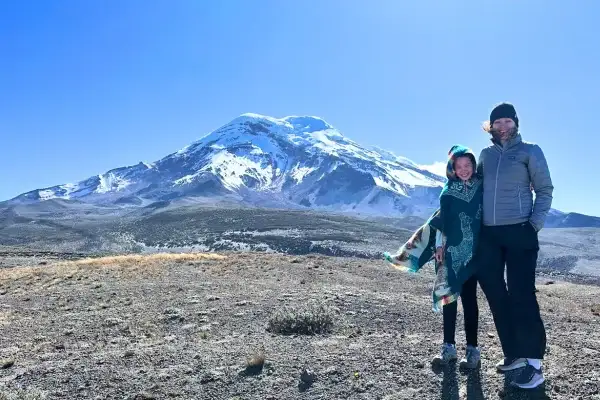
Mount Chimborazo Ecuador: Position & Coordinates
Chimborazo Ecuador sits at approximately 1°28’S latitude and 78°48’W longitude. That puts it almost directly on the equator, maybe 120 kilometers south. The mountain rises from around 3,500 meters elevation at its base to 6,263 meters at its summit. That’s nearly 2,800 meters of vertical rise. The peak’s on the western side of Ecuador’s inter-Andean valley, placing it in Chimborazo Province. The closest major town is Riobamba, about 35 kilometers away. Smaller towns like Guaranda and Ambato also serve climbers and visitors. In practical terms, if you’re trying to reach Chimborazo from Quito, you’re looking at 270 kilometers south on the Pan-American Highway. That’s a 5-7 hour drive depending on traffic and how many breaks you take. Type Mount Chimborazo Ecuador into your map app and aim for the San Juan gate off the Ambato–Guayaquil road.
How to Reach Mount Chimborazo in Ecuador
There are three main approaches. The most direct route starts in Riobamba. Head west from the city toward the mountain—it’s signposted, though the signs aren’t always obvious. The road climbs steeply through small villages and passes, gaining elevation rapidly. You’ll eventually hit the park entrance and continue to the refuges. This route takes 1-2 hours of driving from Riobamba at around 2,800-3,000 meters elevation.
The second approach starts from Guaranda, to the north. This route’s longer but offers a different perspective—you approach from the northern-western flank. The third approach comes from Ambato to the south, which most people combine with climbing Tungurahua since both volcanoes are nearby. No matter which route you choose, you’re driving on winding mountain roads at altitude. The roads are paved but narrow. Four-wheel-drive isn’t essential in dry season, but it’s helpful in rainy season (October-May) when roads get muddy and conditions deteriorate. Working out how many days you need? Send us your dates and we will come back with a plan.
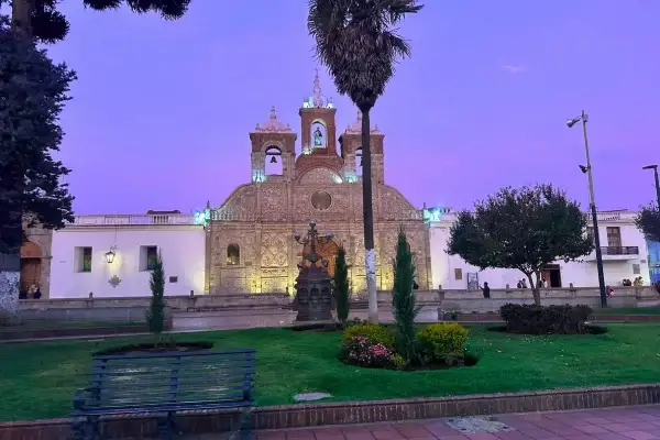
Riobamba: The Gateway Town
Riobamba’s where most Chimborazo Ecuador climbers base themselves. It’s a city of about 200,000 people, capital of Chimborazo Province, with decent infrastructure. Hotels range from budget hostels ($15-30/night) to mid-range options ($50-100/night). There are restaurants, markets, and a general sense of functioning civilization. Importantly, from Riobamba you can arrange transportation to the mountain, hire guides, and get last-minute gear if needed. The city sits at 2,750 meters elevation, which makes it good for acclimatization the night before heading higher.
Many guides operate out of Riobamba. If you’re going independently, you can rent four-wheel-drive vehicles and drive yourself, though hiring a guide for the technical route up the mountain is recommended. The city’s got character—indigenous markets on weekends, local food restaurants, and genuine mountain culture. It’s not Quito—it’s smaller, quieter, more authentic.
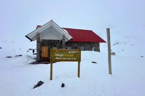
Whymper Refuge & Lower Treks
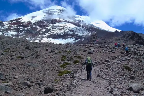
Whymper Refuge sits at 5,000 meters elevation and serves as the primary starting point for summit attempts. The refuge is basic—bunk beds, heating, some food services—but it’s the staging ground for the mountain’s final push. Getting from Riobamba to Whymper Refuge takes several hours of driving up steep roads. The refuge has caretakers, and climbers typically arrive in the afternoon, acclimatize overnight, and start climbing early the next morning. If you’re not attempting the technical summit but want high-altitude hiking, Whymper Refuge is accessible.
From there, you can hike to various viewpoints and lower areas without tech ical climbing. Many visitors do exactly this —drive to Whymper, hike to 5,100 or 5,200 meters (4 hours round trip), experience serious altitude, and head back down. It’s a legitimate high-altitude experience without needing mountaineering expertise. Actually climbing Chimborazo is a different sport — glacier gear, a certified guide, and a midnight start. Day visitors stick to the refuges and the viewpoint trails. That is how Chimborazo fits into our 7-day Ecuador circuit and other Ecuador vacation packages that head south from Quito.
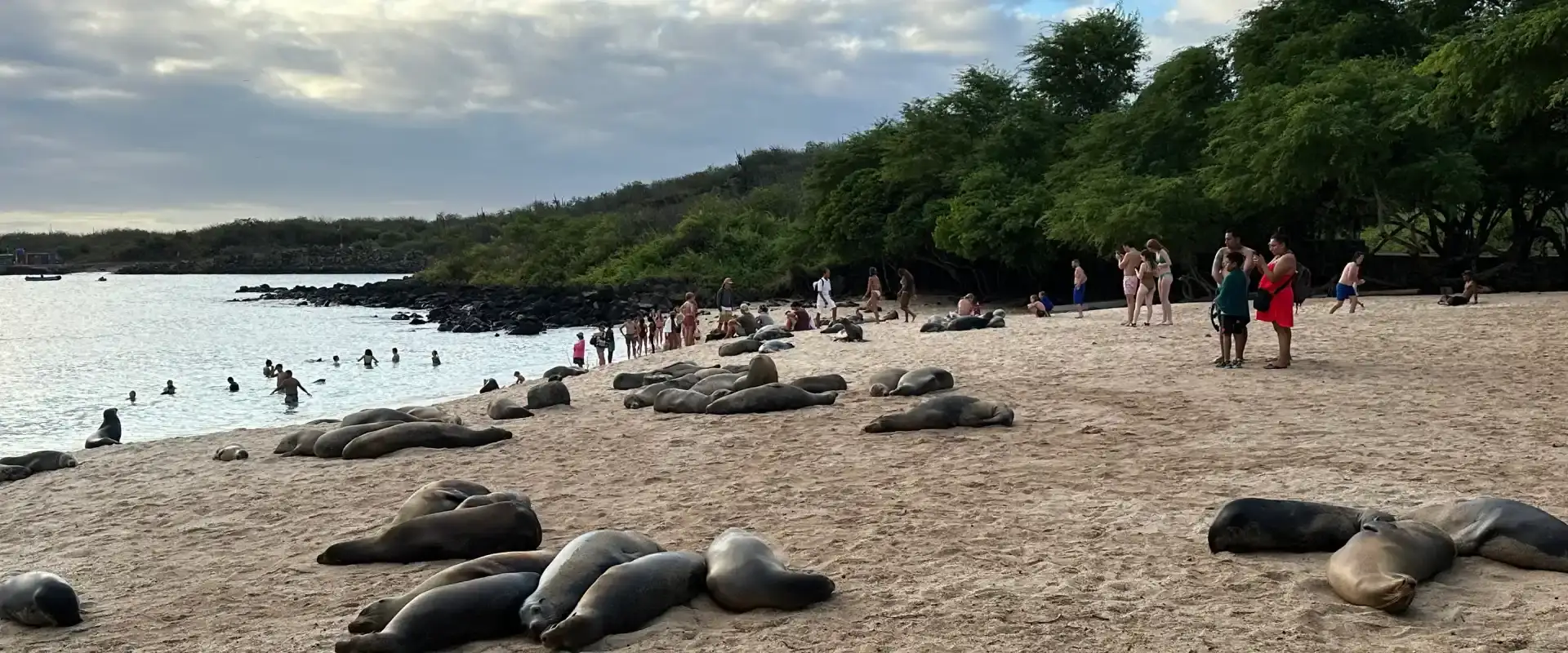
TWO WEEKS, FULLY PLANNED
14 Day Ecuador and Galapagos Tour: Volcanoes, Cuenca and the Islands
Quito, Cotopaxi, Quilotoa, Chimborazo, Ingapirca and Cuenca, then a week on Santa Cruz and Isabela with a yacht day.
From $3,390 per person
View itineraryChimborazo Wildlife Sanctuary & Ecosystem
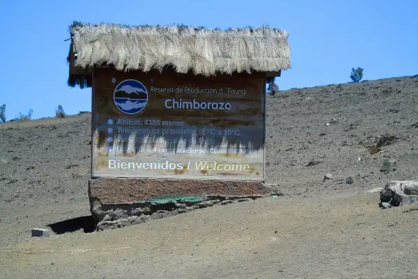
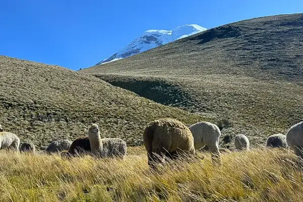
The mountain isn’t just a geographical feature—it’s an ecosystem island. UNESCO designated it a Biosphere Reserve in 2002, protecting over 100,000 hectares. The lower slopes support cloud forests teeming with life. As you ascend, vegetation changes dramatically. The cloud forest transitions to paramo grassland, then to barren volcanic rock and glaciers.
This vertical ecosystem transition happens over just a few thousand meters —you can walk through multiple biological zones in one day. The wildlife’s diverse. Lower elevations host spectacled bears, white-tailed deer, and Andean rabbits. Mid-elevation zones have smaller mammals and extensive birdlife. Higher up, the Andean condor soars. Pumas hunt occasionally but almost never encounter climbers. The biodiversity makes Chimborazo Ecuador valuable scientifically—researchers study how species adapt to altitude extremes. For visitors, it means you’re not just climbing a mountain; you’re moving through distinct natural communities.
designated it a Biosphere Reserve in 2002, protecting over 100,000 hectares. The lower slopes support cloud forests teeming with life. As you ascend, vegetation changes dramatically. The cloud forest transitions to paramo grassland, then to barren volcanic rock and glaciers. This vertical ecosystem transition happens over just a few thousand meters—you can walk through multiple biological zones in one day. The wildlife’s diverse.
Lower elevations host spectacled bears, white-tailed deer, and Andean rabbits. Mid-elevation zones have smaller mammals and extensive birdlife. Higher up, the Andean condor soars. Pumas hunt occasionally but almost never encounter climbers. The biodiversity makes Chimborazo Ecuador valuable scientifically—researchers study how species adapt to altitude extremes. For visitors, it means you’re not just climbing a mountain; you’re moving through distinct natural communities.
Historical Significance & First Ascents
Chimborazo Ecuador’s been significant to indigenous peoples for centuries—archaeologists have found ritual sites on the slopes. European climbers first “officially” summited in 1880 with Edward Whimper (hence the refugee name). Before that, indigenous guides reached the peak regularly. The mountain’s historical importance extends beyond climbing—it shaped early scientific understanding of how altitude affects human physiology. Scientists conducted experiments on Chimborazo to understand oxygen limitation and barometric pressure effects. Whimper’s 1880 expedition detailed these findings in what became foundational texts on mountain medicine. Today, the mountain remains scientifically important. Glaciologists study ice retreat patterns here. Biologists research high-altitude adaptation. Geologists monitor volcanic activity. It’s a living laboratory sitting at 6,263 meters.
Weather Patterns & Access Seasonality
Chimborazo’s location on the equator means altitude matters more than season for temperature—it’s cold at the summit regardless of month. What changes seasonally is precipitation and wind patterns. June through August brings the driest conditions, with clearest skies and most stable weather. December through January offers similar conditions.
The dry season is the dry season. October through May sees frequent cloud cover, afternoon rains, and generally worse climbing conditions. Afternoon cloud build-up happens almost every day during rainy season. The roads, meanwhile, become slippery in rainy season—muddy, potholed, challenging to navigate. Most climbers and high-altitude visitors target the dry months. That said, you can visit year-round. Just manage expectations. June-August visits typically mean clear summits and dry roads. December-January visits mean slightly more crowds but still good weather. Rainy season visits mean clouds most days and slower driving.
ut 5-6 hours to Riobamba, then 1-2 more hours to reach Whymper Refuge or park entrance. The Pan-American Highway’s decent, but it’s a steady climb with altitude gains. Factor in bathroom breaks, snack stops, and potentially slower traffic in rainy season.
Chimborazo Ecuador: Frequently Asked Questions
Is Chimborazo mountain Ecuador’s highest peak?
Yes. At 6,263 meters (20,548 ft) above sea level, the Chimborazo mountain Ecuador puts on its coat of arms is the country’s highest — and because of the equatorial bulge, its summit is the farthest point from the center of the Earth. Everest is taller from sea level; Chimborazo wins from the core.
Is Chimborazo volcano Ecuador still active?
Officially the Chimborazo volcano Ecuador monitors is considered dormant, not extinct — its last known eruption was around 550 AD. The Geophysical Institute keeps an eye on it, but there’s no eruptive activity today; the real hazards for visitors are altitude and weather, not lava.
Can you climb Chimborazo volcano in Ecuador?
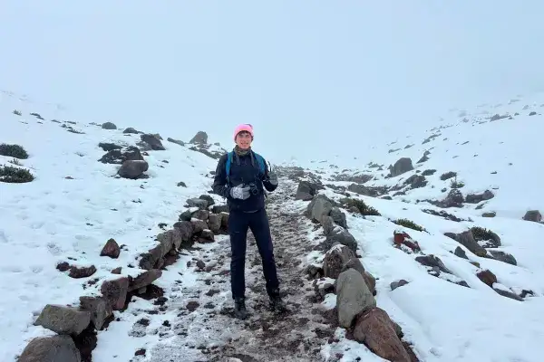
Yes, but it’s a serious glacier climb, not a hike: crampons, rope teams, a certified mountain guide and a midnight start from the refuge. If you just want the experience without the summit, the drive to Carrel Refuge at 4,850 m plus the walk to Whymper Refuge at 5,000 m delivers the views in half a day.
Where is Chimborazo in Ecuador?
Chimborazo stands in the central Andes, in Chimborazo Province, about 150 km southwest of Quito and 30 km northwest of Riobamba — the usual gateway town. It anchors the southern end of the Avenue of Volcanoes.
How far is Chimborazo from Quito?
About 150 kilometers as the condor flies, or 3.5 to 4 hours by road. Most travelers either base in Riobamba (30 minutes from the park entrance) or take a long day trip from Quito that pairs the mountain with the Avenue of Volcanoes.
Do you need a guide to visit Chimborazo?
Not for the refuges — you can drive to Carrel Refuge and walk to Whymper on your own. You do need a certified guide for anything on the glacier, and hiring one in Riobamba is straightforward. Wildlife sanctuary entrance is free.
Ready to Find Chimborazo?
Now that you know where Chimborazo is, explore what to do once you get there. Learn about the mountain’s techanical challenges in our Cotopaxi climbing guide (similar techjiques apply), or read our detailed comparison in Chimborazo vs. Cotopaxi to understand what makes each unique. Get the broader context by reading our complete guide to Ecuador’s 84 volcanoes. Drive the entire region by following the Avenue of Volcanoes route—hit multiple peaks in one epic road trip.