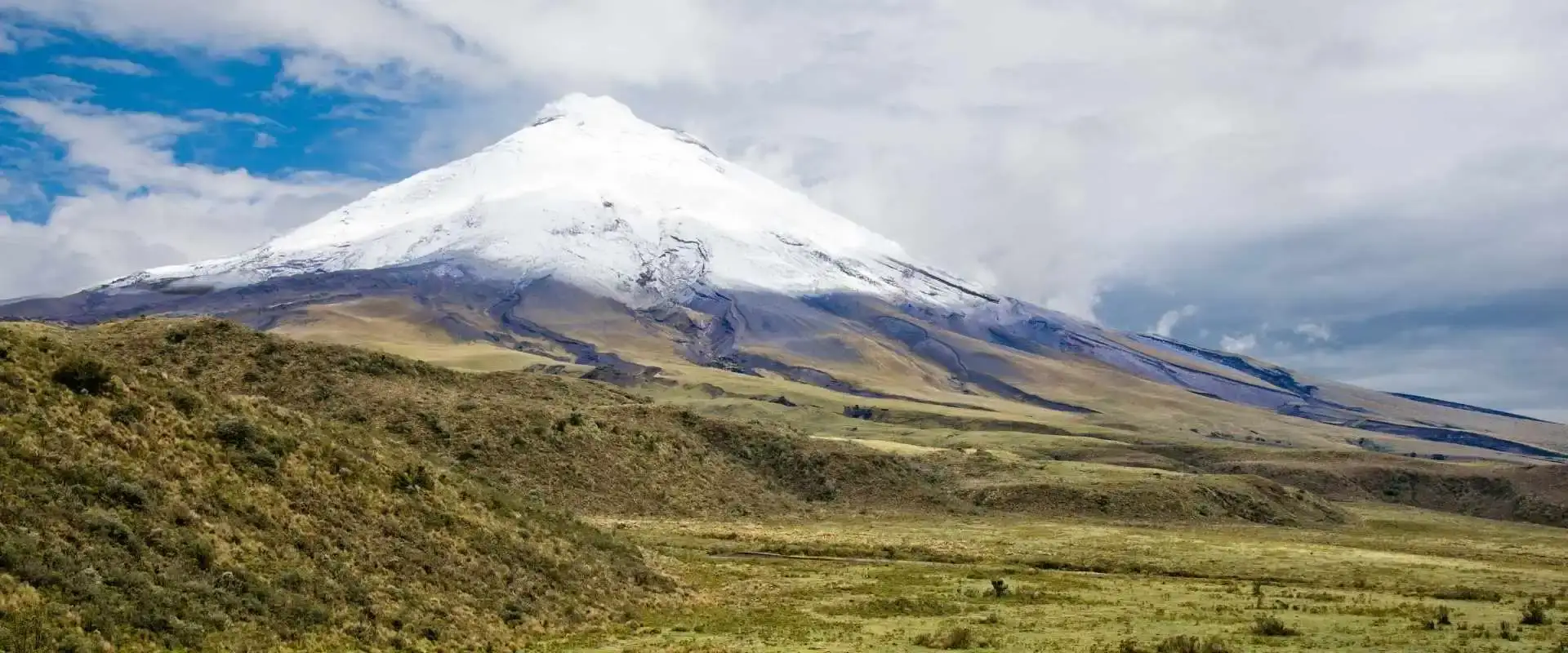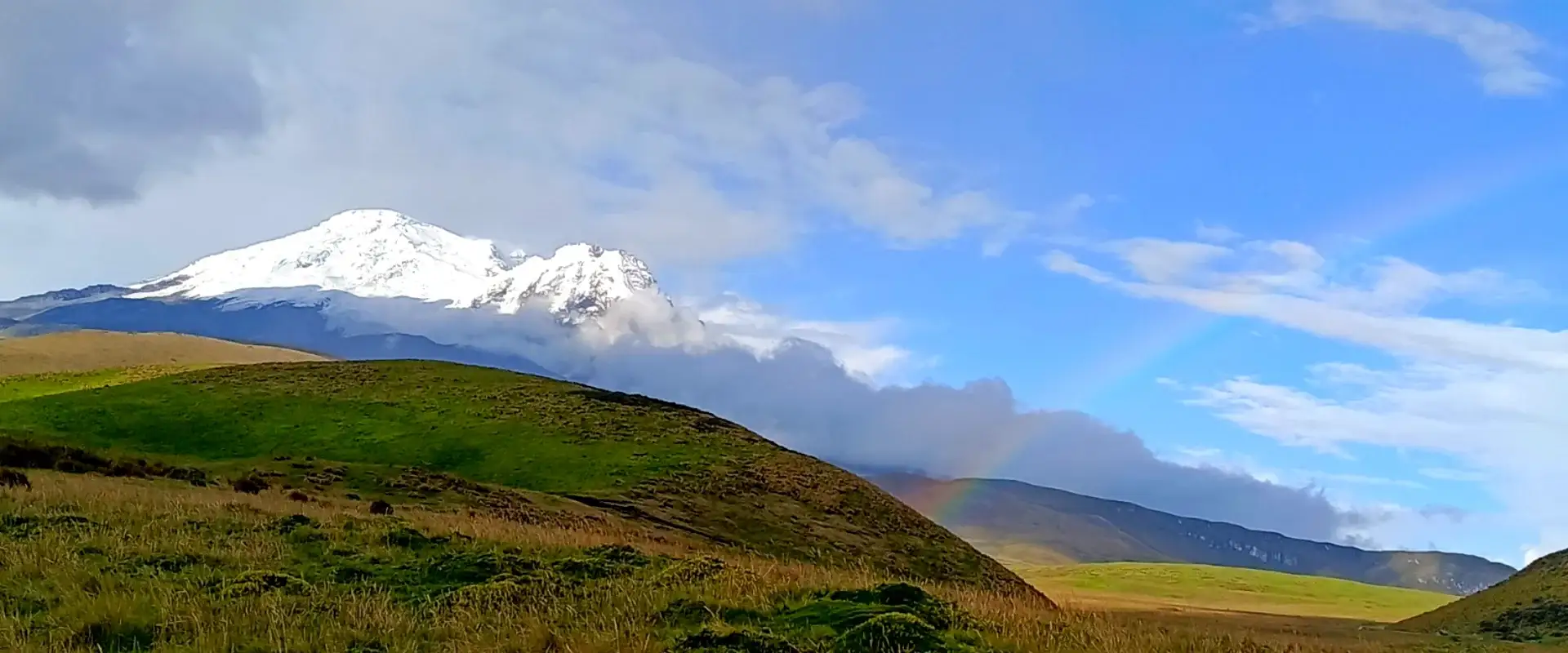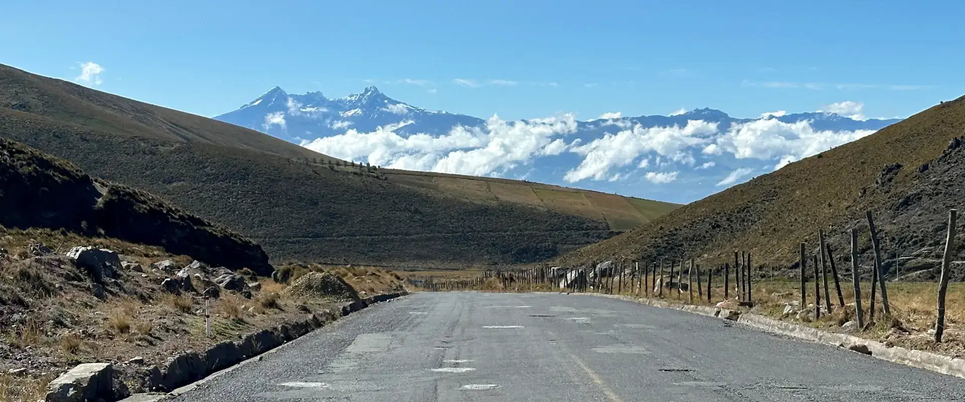
Sangay National Park Ecuador Guide: UNESCO World Heritage Volcano
the park is a UNESCO World Heritage Site covering 517,765 hectares in central Ecuador. It’s home to three active volcanoes — Sangay, Tungurahua, and El Altar — plus cloud forests, páramo grasslands, and some of the most remote wilderness in the Ecuadorian Andes. The park ranges from 900 to 5,230 meters elevation.
Most tourists skip Sangay entirely. That’s a mistake. I’ve been guiding groups into this park for over eight years, and the landscapes here rival anything in Cotopaxi or Chimborazo — minus the crowds. On some trails, you won’t see another person for days.
This guide covers how to visit this national park, the main entry points, trekking routes, Sangay volcano itself, wildlife, and practical logistics most travel sites get wrong.
Cuenca, the Volcanoes and the Galápagos: 14 Day Tour
Where is Sangay National Park?
Sangay sits in the Eastern Cordillera of the Andes, stretching from Tungurahua province in the north to Morona Santiago in the southeast. The western boundary touches the highland towns of Riobamba and Macas, while the eastern slopes drop into the Amazon basin.
The park’s geography is extreme — from glaciated volcanic peaks above 5,000m down to subtropical cloud forest at 900m. That elevation range creates an incredible diversity of ecosystems packed into a relatively small area. You can hike from páramo grassland into jungle in a single day.
Sangay Volcano: Ecuador’s Most Active Peak
Sangay volcano has been erupting almost continuously since 1934. Let that sink in — over 90 years of nonstop volcanic activity. It’s a 5,230-meter stratovolcano that produces regular Strombolian explosions, lava flows, and lahars. The eruption column is sometimes visible from Riobamba, 50 km away.
Can you climb Sangay? Technically yes, but it’s one of Ecuador’s most challenging and dangerous ascents. The trek to base camp alone takes 3-4 days through jungle and páramo. Summit day involves dodging falling rocks from the active crater. Most guiding companies won’t take clients. The last fatality was in 2020 — a guide hit by volcanic debris near the summit. Planning the wider trip? Send us your dates and we will put the route together.
If you’re serious about attempting Sangay, you need a minimum of 5-7 days, excellent fitness, high-altitude experience, and a very experienced local guide. The approach from the village of Alao is the standard route.
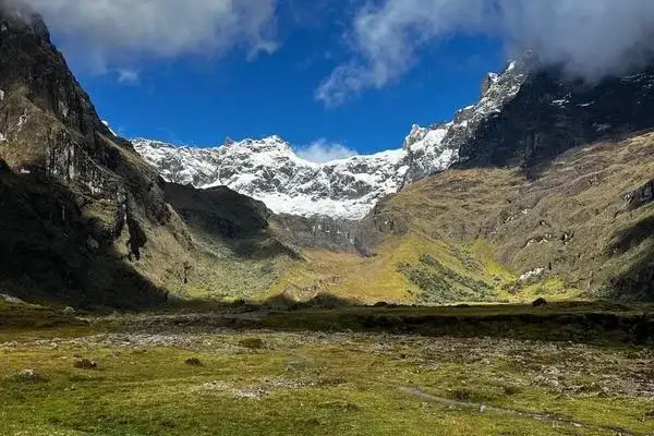
Best Trekking Routes in Sangay National Park
Lagunas de Atillo Circuit (2-3 days)
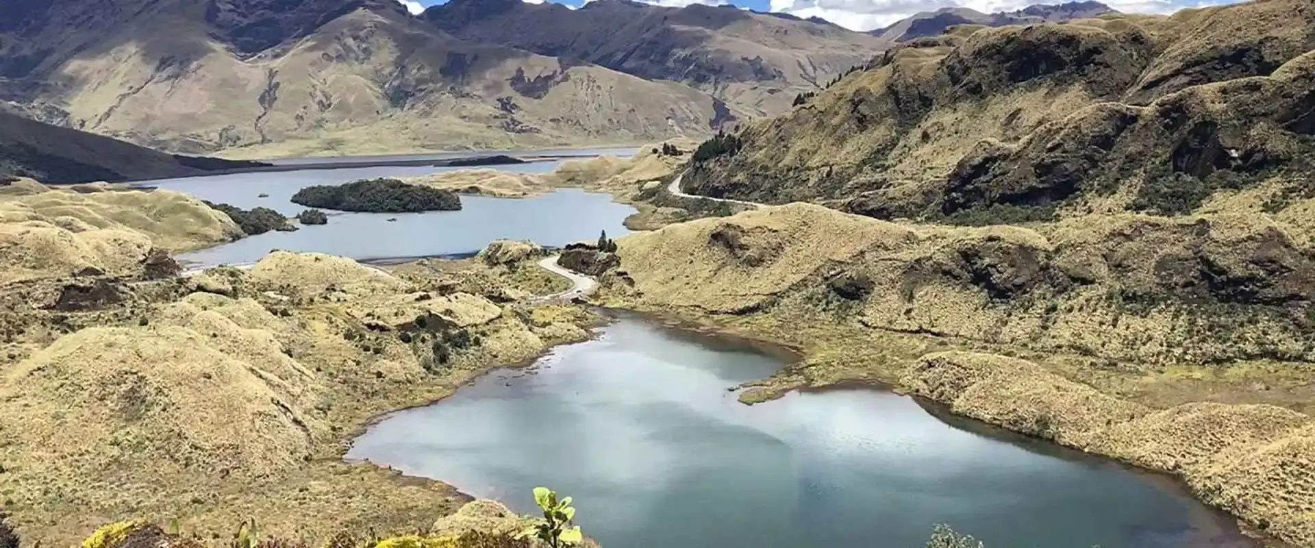
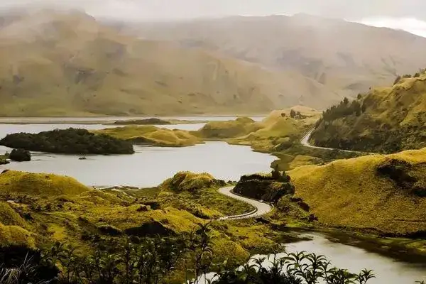
The most accessible trek in the park. Start from the Atillo Lakes area (accessible by road from Riobamba) and hike through stunning high-altitude lagoons surrounded by páramo. The lakes sit at about 3,400 meters and the scenery is otherworldly — mirror-still water reflecting the surrounding peaks. No technical skills needed, but be prepared for cold nights and rain.
El Placer Hot Springs Trek (3-4 days)
A gem that almost nobody knows about. Trek from the highland entrance near Candelaria down through cloud forest to natural hot springs at El Placer. The springs sit at about 2,400 meters elevation, heated by Sangay’s geothermal system. You’ll need a local guide — the trail is unmarked in sections and river crossings can be tricky in rainy season.
Ozogoche Lakes (day hike)
The Ozogoche Lakes are famous for a bizarre phenomenon — every September, hundreds of migrating plovers crash into the lake surface and die. Nobody fully understands why. Beyond that morbid curiosity, the lakes are stunning. A day hike from the ranger station loops through several of the 45+ lakes in the area. Road access from the town of Alausí.
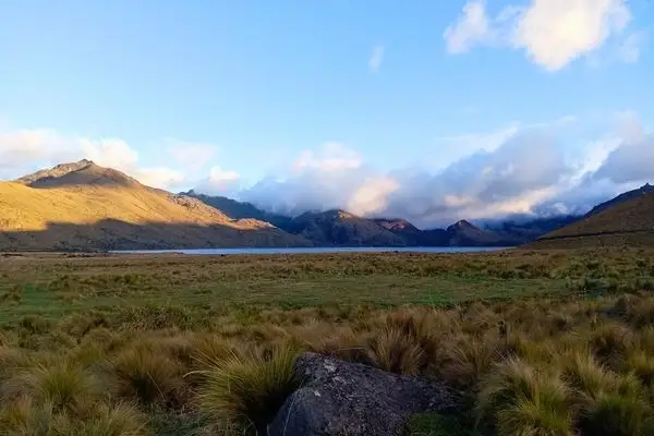
Wildlife in Sangay National Park
Sangay is one of the best places in Ecuador to spot the endangered spectacled bear (Tremarctos ornatus) — South America’s only bear species. The park’s isolation means wildlife is less disturbed than in more accessible reserves.
Other highlights: mountain tapir (critically endangered), puma, Andean condor, cock-of-the-rock (in the lower cloud forest sections), and over 400 bird species. The transition zones between páramo and cloud forest are particularly rich for birding.
How to Get to Sangay National Park
Sangay has multiple entry points depending on what you want to do. From Quito, take a bus to Riobamba (4 hours, $6) for the western entrances. From Riobamba, local buses and trucks head to Alao (for Sangay volcano base), Atillo Lakes, or Candelaria (for El Placer).
For the southern sections (Ozogoche Lakes), the access is from Alausí — itself a cool town worth visiting for the Devil’s Nose train ride. The park entrance fee is $2 for nationals and $10 for foreigners.
The park is part of the broader Ecuador volcanoes landscape — you can combine it with visits to Chimborazo (nearby Riobamba) or continue north along the Avenue of the Volcanoes.
Sangay National Park Facts & Quick Stats
Here are the essential the reserve facts every traveler should know before visiting. The park is one of Ecuador’s most underrated UNESCO treasures — a landscape where glaciers, cloud forest, and Amazon jungle converge within a single protected zone.
- Official name: Parque Nacional Sangay
- Area: 517,765 hectares (1,279,425 acres) — Ecuador’s largest mainland national park
- UNESCO status: Declared World Heritage Site in 1983
- Active volcanoes inside park: 3 (Sangay 5,230 m, Tungurahua 5,023 m, El Altar 5,319 m)
- Elevation range: 900 m to 5,319 m above sea level
- Ecosystems: Páramo, Andean cloud forest, Amazon rainforest, glacial lakes
- Provinces covered: Chimborazo, Morona Santiago, Tungurahua, Cañar
- Google rating: 4.7/5 (1,550+ reviews)
- Established: June 16, 1975
- Distance from Quito: ~200 km south
These this park facts highlight why it earned UNESCO protection: it preserves the full vertical ecosystem gradient from Amazon lowlands to Andean glaciers in a single continuous protected area — something almost impossible to find elsewhere on Earth.
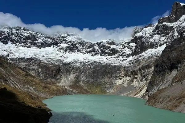
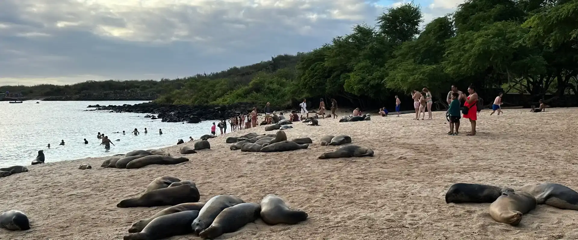
TWO WEEKS, FULLY PLANNED
14 Day Ecuador and Galapagos Tour: Volcanoes, Cuenca and the Islands
Quito, Cotopaxi, Quilotoa, Chimborazo, Ingapirca and Cuenca, then a week on Santa Cruz and Isabela with a yacht day.
From $3,390 per person
View itineraryHow to Get to Sangay National Park from Quito
The most common route to the park from Quito is a 4-5 hour drive south via the Panamericana Highway (E35) to Riobamba or Baños. From Quito, you have three practical entry points depending on which part of the park you want to explore.
Via Riobamba (western entrance)
Best for: Lagunas de Atillo, Ozogoche, El Altar volcano. Take a bus from Quitumbe Terminal (Quito) to Riobamba (4 hours, $5). From Riobamba, hire a 4×4 or local guide to reach the Atillo Lakes entrance (2 hours off-road). This is the this national park entry most hikers use for multi-day trekking circuits.
Via Baños de Agua Santa (northern entrance)
Best for: Tungurahua viewpoints, Pailón del Diablo waterfalls, day trips. Bus from Quito to Baños takes 3.5 hours ($4.50). Baños is the most tourist-friendly base town with dozens of tour operators offering guided SNP excursions.
Via Macas (eastern Amazon entrance)
Best for: Sangay volcano base, Amazon rainforest sector, indigenous Shuar communities. Fly from Quito to Macas (45 min, $80) or bus via Puyo (9 hours). This is the least-visited side and requires licensed guides for deeper exploration.
Sangay National Park Map & Location
The the reserve map stretches across four Ecuadorian provinces in the Eastern Cordillera of the Andes. GPS center point coordinates are approximately -2.0°S, -78.35°W. The park borders Llanganates National Park to the north and extends south to touch the Macas-Puyo highway.
Official maps divide SNP into three management zones: the Alta Montaña (high-altitude páramo and glacier zone) in the west, the Bosque Nublado (cloud forest) in the central belt, and the Selva Amazónica (Amazon rainforest) in the east. Most trails, refuges, and visitor infrastructure are concentrated in the western and central zones accessible from Riobamba and Baños. You can download the official PDF map from the Ministerio del Ambiente (MAE) at ambiente.gob.ec.
Things to Do in Sangay National Park
Beyond trekking, there are plenty of things to do in this park for travelers with different interests and fitness levels. Here are my top recommendations from years of guiding in this region:
- Volcano viewing: Watch Sangay erupt at night from Macas viewpoints — it has been in near-continuous eruption since 1934.
- Thermal hot springs: Soak at El Placer natural hot springs (3-4 day trek) or Baños hot pools nearby.
- Wildlife watching: Spot Andean bears, mountain tapirs, Andean condors, and cloud forest hummingbirds.
- Fly-fishing: Trout-rich glacial lakes at Atillo and Ozogoche.
- Photography: Sunrise at El Altar’s crater lake (Laguna Amarilla) is one of Ecuador’s most photographed spots.
- Cultural tours: Visit Shuar communities on the Amazon side to learn traditional crafts and plant medicine.
- White-water rafting: The Pastaza River (grade III-IV) runs along the park’s northern edge near Baños.
- Horseback riding: Multi-day haciendas trips through the páramo.
Sangay National Park Tours & Guided Trips
Booking the park tours with licensed operators is the recommended way to explore the deep interior of the park. Independent travel is possible for day hikes and the Atillo/Ozogoche circuits, but for multi-day treks (Sangay volcano base, El Altar crater, Amazon rainforest sector) you’ll need a certified guide by law.
Typical this national park tours range from one-day Baños-based excursions ($40–70 USD per person) to six-day guided treks with full logistics ($1,800–2,500 USD per person). Book at least 4-6 weeks in advance during high season (June-September). Make sure your operator has Ministry of Tourism registration and includes park entry fees, transport, meals, and certified wilderness-first-aid guides.
Frequently Asked Questions
What are some interesting facts about Sangay National Park?
Sangay National Park is home to three active volcanoes (Sangay, Tungurahua, El Altar), covers 517,765 hectares — making it the largest mainland national park in Ecuador — and was declared a UNESCO World Heritage Site in 1983. It preserves complete vertical ecosystems from Amazon rainforest (900 m) to Andean glaciers (5,319 m). Sangay volcano itself has been in near-continuous eruption since 1934 — one of the longest-running active eruptions on the planet.
How do I get to Sangay National Park from Quito?
The easiest route is a 4-5 hour drive south from Quito via the Panamericana (E35) to Riobamba or Baños. Bus fares run $4.50-$5 from Quitumbe Terminal. From Baños you can access the northern sector (Tungurahua, Pailón del Diablo) same-day; from Riobamba you reach the western trekking zone (Atillo, El Altar). The Amazon sector is accessed via Macas — fly from Quito (45 min, $80) or bus via Puyo (9 hours).
Is Sangay volcano active right now?
Yes, Sangay is extremely active. It has been erupting continuously since 1934, making it one of the most persistently active volcanoes on Earth. The IGEPN (Geophysical Institute of Ecuador) currently monitors Sangay at an Orange alert level due to ongoing ash emissions, strombolian explosions, and lava flows. Travelers can safely view its eruptive activity from designated viewpoints near Macas, the closest city to Sangay volcano (roughly 40 km away).
Is Sangay National Park worth visiting?
Absolutely yes. If you want to experience Ecuador beyond the usual Cotopaxi-Galapagos circuit, Sangay delivers landscapes you won’t see anywhere else — three active volcanoes, glacial lakes, untouched Amazon rainforest, páramo highlands, and cultural experiences with Shuar communities, all in one protected area. Its 4.7/5 Google rating with 1,550+ reviews reflects how much visitors love it. The trade-off is limited infrastructure, which is exactly why it remains uncrowded.
When is the best time to visit Sangay National Park?
The dry season (June-September) offers the best weather for trekking, with clearer skies and firmer trails in the páramo. A second drier window runs December-February. Avoid March-May when the rains are heaviest and many off-road tracks become impassable. For Sangay volcano viewing specifically, any cloudless night is dramatic — eruptive glow is visible year-round.
Do I need a guide for Sangay National Park?
For day hikes and the Atillo/Ozogoche lakes, independent travel is allowed. For multi-day treks (Sangay volcano base, El Altar crater, Amazon sector), licensed guides are mandatory under Ministry of Environment regulations. Guides handle permits, route-finding in often-fogged páramo, wildlife safety (Andean bears, pumas), and emergency evacuation. Expect to pay $80-150/day for a certified bilingual guide.
What wildlife can I see in Sangay National Park?
Sangay protects over 3,000 plant species, 300+ bird species, and 60 mammal species. Flagship wildlife includes the spectacled bear (Andean bear), mountain tapir (endangered, endemic), puma, Andean condor, giant otter (Amazon sector), ocelot, porcupine, and the critically endangered tigrillo. Birdwatchers come for the Andean cock-of-the-rock, torrent ducks, and dozens of hummingbird species in the cloud forest zone.
How much does Sangay National Park entry cost?
Entry to Sangay National Park is free for all visitors as of 2026, following Ecuador’s national park fee elimination policy. However, you’ll pay for transport, guides, accommodation, and optional permits for restricted zones. Budget approximately $40-100/day for a modest trip including guide, food, and transport; multi-day organized treks run $200-400/day with full service.
Sangay: Ecuador’s Wild Volcanic Frontier
Sangay National Park represents Ecuador at its most raw and untouched. It doesn’t have the infrastructure of Cotopaxi National Park or the name recognition of Galápagos, but for hikers and nature lovers who want genuine wilderness, it’s Ecuador’s best-kept secret. The park is part of our complete guide to Ecuador’s 84 volcanoes — explore the full volcanic landscape.