Quito Elevation: What 9,350 Feet Actually Feels Like (2026)
Quito elevation is 2,850 metres (9,350 feet) above sea level, which makes it the second-highest capital city in the world after La Paz, Bolivia. Most visitors feel it within a few hours: shortness of breath on stairs, a light headache, a broken first night of sleep. It passes. Take your first day easy and you will feel normal by day three.
Pair It With the Galápagos: 9 Day Ecuador & Galápagos Tour
Need to Know
- Elevation: 2,850 m / 9,350 ft at Plaza Grande. The city is not flat, so the figure shifts by a few hundred metres depending on where you stand.
- World ranking: second-highest capital after La Paz (3,640 m), and the highest constitutional capital anywhere.
- Airport (Tababela): 2,400 m / 7,874 ft, noticeably lower than the city itself.
- Adjustment time: 24 to 72 hours for most people.
- What to bring: a water bottle, strong sunscreen, one warm layer, and any medication you take regularly.
- Ask your doctor first if: you have a heart or lung condition. Age on its own is not the risk factor.
How High Is Quito, Exactly?
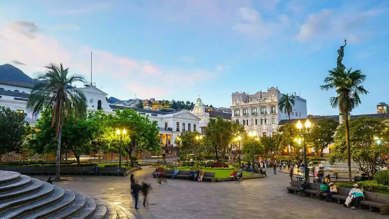
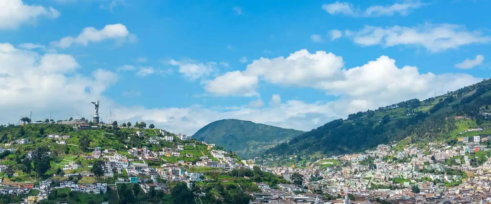
Stand in Plaza Grande and you are at 2,850 metres. That is the number on the sign, the number in the guidebooks, and the one worth remembering. San Francisco de Quito, to use the full name, sits in a long narrow valley on the eastern flank of Pichincha volcano, roughly 25 kilometres south of the equator.
You will see other figures floating around, and they are not wrong so much as incomplete. Quito is not flat: the valley climbs and drops as you move across it, so any single average hides a real spread. Quote 2,850 m and nobody will correct you. In imperial terms, the elevation of Quito, Ecuador is 9,350 feet above sea level.
For context: that is high enough that water boils at about 90°C instead of 100°C, which is why pasta takes longer here and why baking recipes need adjusting. It is also high enough that you will notice the first flight of stairs you climb.
Quito Altitude in Feet, Meters and Sea Level
The headline number first: Quito elevation in feet is 9,350, and the altitude of Quito in metres is 2,850. If you think in feet, here is the Quito altitude in feet alongside the places you are most likely to visit while you are here. The spread matters more than any single number, because a day trip can take you 1,800 metres higher than your hotel.
- Mariscal Sucre airport (Tababela): 2,400 m / 7,874 ft
- Old Town and Plaza Grande: 2,850 m / 9,350 ft
- Parque La Carolina and the modern north: about 2,800 m / 9,186 ft
- Top of the TelefériQo at Cruz Loma: 4,050 m / 13,287 ft
- Rucu Pichincha summit: 4,698 m / 15,413 ft
That last pair is the one people underestimate. The TelefériQo cable car climbs 1,100 metres from its base station in about 20 minutes, which is faster than your body can adjust to. Plenty of visitors feel fine in Old Town and then get a thumping headache at the top.
Quito Altitude: What 9,350 Feet Actually Feels Like
The Quito altitude does not hit you at the airport. It creeps up over the first afternoon. There is roughly 30% less oxygen in each breath than at sea level, and your body notices before your brain does.
What most people report, in rough order of how common it is:
- Getting winded on stairs you would normally take two at a time
- A dull headache toward the end of day one
- Waking up several times the first night
- Feeling full or slightly queasy after a big meal
- Alcohol landing about twice as hard as usual
- Sunburn arriving faster, because there is less atmosphere filtering the UV
Some numbers, because vague reassurance is not useful. Operators who have run Ecuador trips for decades put it at roughly 30 to 40% of travellers arriving from low altitude getting some symptoms in the 2,500 to 3,000 metre band that Quito sits in, with serious forms rare below 3,500 metres. The CDC puts the risk threshold at 8,000 feet, and Quito sits 1,350 feet above that line, so it is worth a read if you have any doubt. And the thing people get wrong: age on its own is not the risk factor. Underlying heart and lung conditions are. Not sure how to fit this into a trip? Tell us your dates and we will map it out.
Is Quito the Highest Capital in the World?
You will see this answered both ways, sometimes on the same page. Here is why, and which version is right.
La Paz, Bolivia sits at 3,640 metres (11,942 ft), which is 790 metres above Quito. So on raw elevation, Quito is second. That is the safe answer and the one Google usually gives.
But La Paz is Bolivia’s seat of government, not its constitutional capital. That title belongs to Sucre, which sits at 2,790 metres. Sucre is 60 metres lower than Quito. So if you go by which city a constitution actually names as the capital, Quito is the highest in the world, not the second.
Both claims are defensible. What is not defensible is the flat statement that Quito is the highest capital in the world with no qualifier, which is what a lot of travel pages print. If you want the version that survives a fact-check: Quito is the second-highest capital overall, and the highest constitutional capital.
Quito Ecuador Altitude Compared With Cusco, Denver and Bogota
Numbers in isolation mean very little. What people actually want to know is whether Quito Ecuador altitude will feel like somewhere they have already been. This is the comparison, using the places travellers ask about most.
| Place | Metres | Feet | Compared with Quito |
|---|---|---|---|
| Chimborazo summit | 6,263 | 20,548 | 3,413 m higher |
| Cotopaxi refuge | 4,800 | 15,748 | 1,950 m higher |
| TelefériQo (Cruz Loma) | 4,050 | 13,287 | 1,200 m higher |
| Quilotoa crater rim | 3,900 | 12,795 | 1,050 m higher |
| La Paz, Bolivia | 3,640 | 11,942 | 790 m higher |
| Cusco, Peru | 3,400 | 11,152 | 550 m higher |
| Quito, Ecuador | 2,850 | 9,350 | — |
| Bogotá, Colombia | 2,625 | 8,612 | 225 m lower |
| Cuenca, Ecuador | 2,560 | 8,400 | 290 m lower |
| Machu Picchu | 2,430 | 7,972 | 420 m lower |
| Mexico City | 2,240 | 7,350 | 610 m lower |
| Denver, USA | 1,609 | 5,280 | 1,241 m lower |
Two things jump out. If you have handled Bogotá or Mexico City comfortably, Quito is a step up but not a leap. And if Cusco is on your itinerary, Quito is the gentler of the two by 550 metres, which makes it a sensible place to start a South America trip rather than end one. And if you are heading south to Cuenca afterwards, that one sits 290 metres below Quito: the Cuenca elevation guide covers what changes.
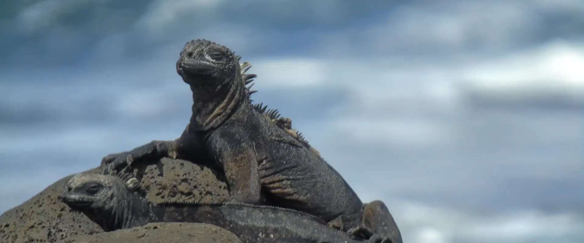
START IN QUITO, END IN THE GALÁPAGOS
9 Day Ecuador and Galapagos Tour: Andes, Amazon and Santa Cruz
Quito, Cotopaxi, Quilotoa, Baños and the Amazon with your own guide, then three nights on Santa Cruz with tortoises, beaches and snorkeling.
From $1,990 per person
View itineraryQuito Altitude Sickness: What to Watch For
Quito altitude sickness, or soroche as everyone here calls it, is usually mild and usually over in a couple of days. Locals will offer you coca tea for it. It is pleasant and mildly helpful, and it is not a cure.
Normal, and not worth worrying about: headache, breathlessness climbing stairs, tiredness, poor sleep, reduced appetite, mild nausea. These fade as you adjust.
Not normal. Go down and get medical help: a headache that painkillers do not touch, vomiting you cannot stop, confusion or trouble walking straight, breathlessness while sitting still, or a persistent cough. These are rare at Quito’s elevation, but they are the signs that matter and they do not improve by waiting.
What genuinely helps: drink far more water than feels necessary, skip alcohol the first night, eat lighter meals, and do nothing strenuous for the first 24 hours. If you are prone to altitude problems, talk to your doctor about acetazolamide before you fly.
How Long Until You Feel Normal?
For most people the arc is predictable. Day one you feel slow and slightly heavy. Day two is noticeably better, though stairs still remind you. By day three you have stopped thinking about it.
Which is exactly why the standard advice is to give Quito your first two days rather than treating it as a stopover on the way somewhere higher. The things worth doing here, like the Old Town, are flat, slow and perfectly suited to a body that is still adjusting.
What not to do on day one: a 4,050-metre cable car ride, a volcano hike, a big night out, or a heavy dinner. Any of those turn a mild adjustment into a miserable one.
Exercise is the one that surprises people most. Runners and cyclists who train at sea level lose noticeably more than they expect up here, because less oxygen per breath means less oxygen reaching the muscles. Expect your usual pace to feel roughly a gear harder for the first week, and treat the first two days as recovery rather than training. It cuts both ways: this is exactly why Ecuador’s national team has such a reputation at home, and why visiting sides dread a fixture in Quito.
Quito Elevation Isn’t One Number
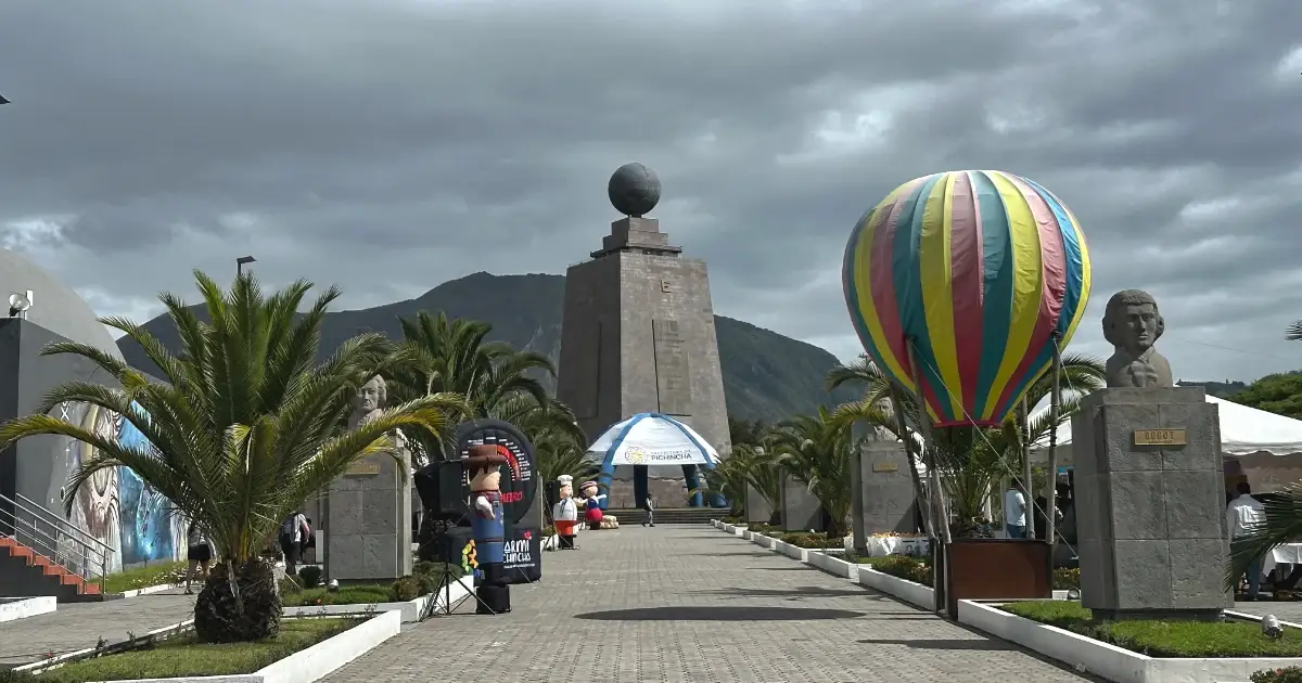
Here is something almost nobody mentions. The altitude you experience changes with the neighbourhood. Between the airport at 2,400 m and the top of the TelefériQo at 4,050 m there is a 1,650-metre spread, and both are inside greater Quito.
In practice it means your arrival from the airport is a climb of about 450 metres, not a flat transfer. It means Guápulo, tucked below the ridge, feels easier than Old Town. And it means the TelefériQo is not a viewpoint so much as a different climate zone that happens to sit inside the city limits.
Going Higher After Quito
Most people do not stay at 2,850 metres. They use Quito as a base and then go up, which is the smart way round: you acclimatise in a comfortable city with good food and hospitals, then climb.
The usual ladder from here:
- Papallacta hot springs at 3,300 m, an easy first step up
- Quilotoa crater at 3,900 m, with a hike back up from the water
- Cotopaxi refuge at 4,800 m, where the altitude is genuinely the hard part
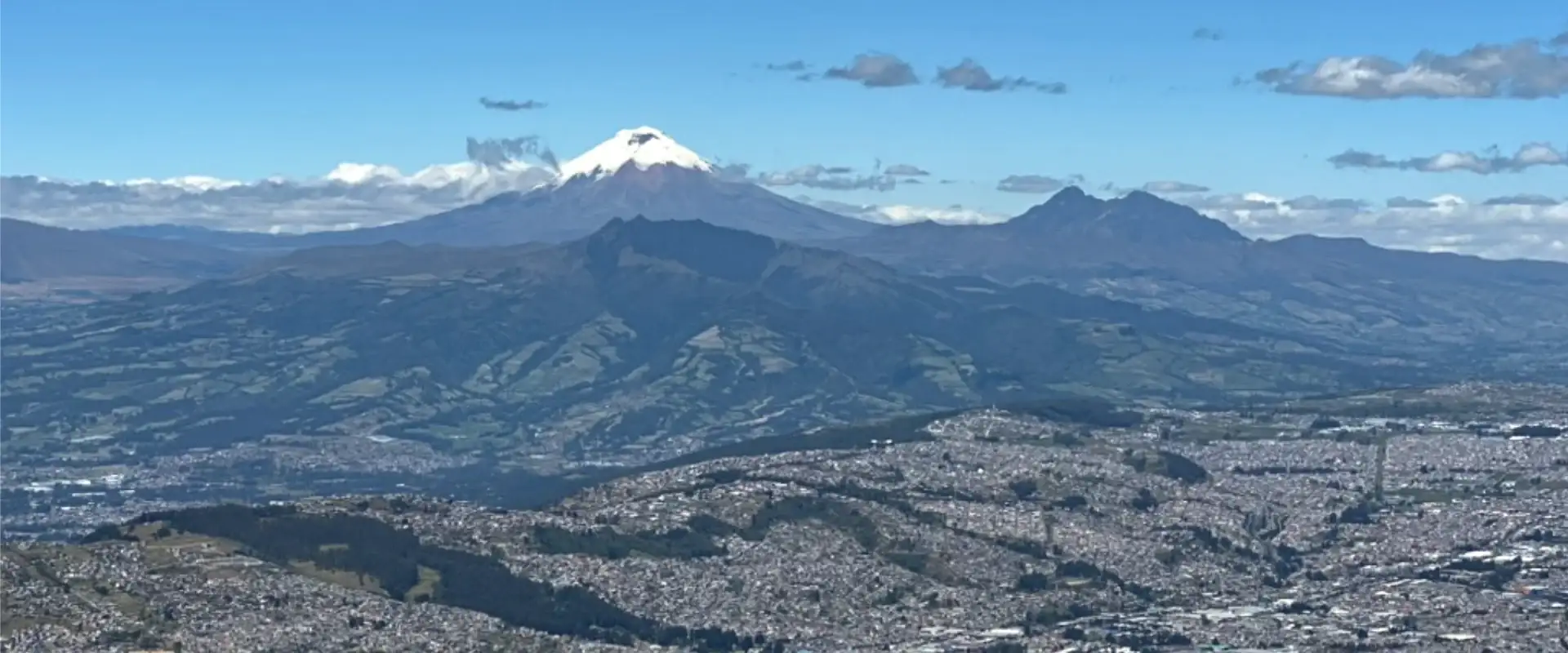
- Chimborazo at 6,263 m, the furthest point from the centre of the Earth
Going the other way works too. Mindo sits at 1,250 metres, and the drop from Quito is dramatic enough that people describe arriving there as being able to breathe again. It makes a good recovery day after a high-altitude stretch.
Quick Answers
Will I get altitude sickness in Quito?
Probably not badly. Around 30 to 40% of travellers arriving from sea level get mild symptoms at Quito’s elevation: a headache, breathlessness on stairs, a poor first night’s sleep. Serious altitude sickness is rare below 3,500 metres. Take day one slowly and drink more water than you think you need.
Is Quito the second highest city in the world?
Not the second-highest city, the second-highest capital. Plenty of towns in Peru, Bolivia and Tibet sit far higher than Quito. Among capital cities, only La Paz at 3,640 metres is above Quito’s 2,850 metres.
Does Quito have low oxygen levels?
There is roughly 30% less oxygen in each breath than at sea level. The air is the same mix of gases, it is simply thinner, so every lungful delivers less. That is why stairs feel harder for the first couple of days.
Is Galapagos high altitude?
No. The Galapagos Islands sit at sea level, which makes them an easy contrast to the Andes. If you have struggled with altitude on the mainland, the islands will feel like a relief.
Is Quito the highest capital city in the world?
Not outright, and the answer depends on definitions. La Paz is higher at 3,640 metres, but La Paz is Bolivia’s seat of government rather than its constitutional capital. Bolivia’s constitutional capital is Sucre, at 2,790 metres, which is lower than Quito. So Quito is the highest constitutional capital and the second-highest capital overall.
How long does it take to acclimate in Quito?
Most people feel normal within 24 to 72 hours. Day one is the heaviest, day two is noticeably better, and by day three the altitude has usually stopped registering.
At what altitude do you start to feel sick?
Symptoms typically begin somewhere above 2,500 metres, which is exactly the band Quito sits in. Below 3,500 metres serious cases are rare. How fast you ascend matters as much as the number itself.
How high is Quito airport?
Mariscal Sucre International Airport at Tababela sits at about 2,400 metres (7,874 feet), roughly 450 metres lower than the city centre. Your transfer into Quito is a climb, not a flat drive.
Does Quito have seasons?
Not in the temperature sense. Sitting on the equator at 2,850 metres, Quito holds much the same daytime temperature all year, around 19°C. What changes is rainfall: a wetter stretch from October to May, and a drier one from June to September.
How high is Quito above sea level?
Quito sits 2,850 metres (9,350 feet) above sea level, measured at Plaza Grande in the Old Town. The altitude of Quito, Ecuador shifts with the neighbourhood: the modern north is about 2,800 metres, the airport at Tababela is lower at 2,400 metres, and the top of the TelefériQo reaches 4,050 metres.
And if all this talk of thin air is putting you off, remember the islands are at sea level. The Galápagos is the one part of Ecuador where altitude never enters the conversation.
Before You Go
- Book your first two nights in Quito and keep day one flat and slow
- Carry a refillable water bottle and drink more than you think you need
- Skip the alcohol on night one, however good the canelazo looks
- Pack sunscreen at a higher factor than you would use at home
- Save the TelefériQo and any volcano for day two or three
- If you have a heart or lung condition, speak to your doctor before you fly
- Know the red flags: a headache that will not shift, vomiting, confusion, breathlessness at rest
Quito’s elevation is a mild inconvenience for two days and a good story afterwards. Plan around it rather than fighting it and it barely registers. For everything else worth doing while you are up here, start with our guide to things to do in Quito. Altitude is the health question; for the street-safety one, see our answer to is Quito safe.