
Where Is Ecuador Located? Map, Regions and the Equator
Where is Ecuador located? On the northwest coast of South America, between Colombia and Peru, on the equator. Its 4 regions, time zone and flight times.

the Quito Trips team, local guides in QuitoUpdated · 6 min read
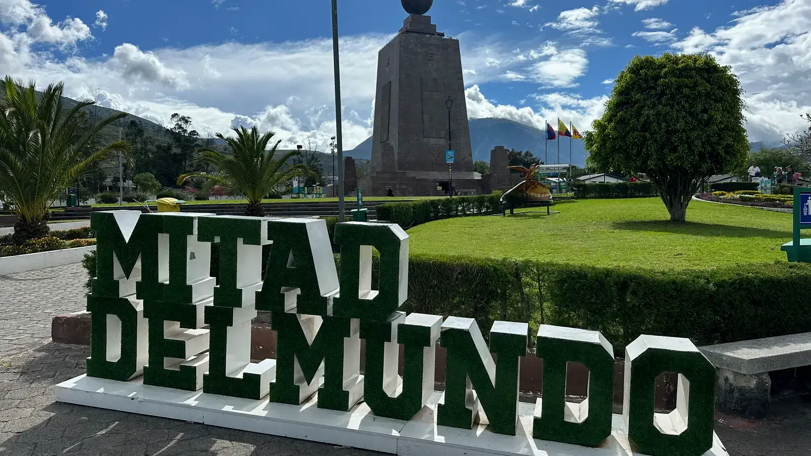
Ecuador is located on the northwest coast of South America, with Colombia to the north, Peru to the east and south, and the Pacific Ocean to the west. The equator runs across the north of the country, which is where the name comes from. The capital, Quito, sits at 0°13'S, 78°30'W, about 26 km south of the equator line and 2,850 meters above sea level. The Galapagos Islands belong to Ecuador too, and they lie about 1,000 km off the coast in the Pacific.
We run tours out of Quito, and "wait, where is Ecuador exactly?" comes up in a lot of first emails. Here is the short version with a map in words, the four regions, the time zone, how long the flights take and how big the country really is.
Where Ecuador is on the map
Find the place where the equator meets the Pacific coast of South America. That bulge of land between Colombia and Peru is Ecuador. The country's central point is usually given as 2°S, 77°30'W, so most of the mainland lies just south of the equator, with a thin northern strip in the Northern Hemisphere.
| Fact | Answer |
|---|---|
| Continent | South America (northwest side) |
| North | Colombia, 708 km of border |
| East and south | Peru, 1,529 km of border |
| West | Pacific Ocean, about 2,237 km of coastline |
| Capital | Quito, 0°13'S 78°30'W, 2,850 m (9,350 ft) |
| Largest city | Guayaquil, on the coast |
| Area | 283,561 sq km, Galapagos included |
| Population | 16,938,986 at the 2022 census |
| Galapagos | About 1,000 km west of the coast |
The population figure comes from the 2022 national census by INEC, Ecuador's statistics institute. Ecuador does not border Brazil, Venezuela or the Caribbean, which surprises some people. To reach the Atlantic side of the continent you would have to cross Peru or Colombia and then most of Brazil.
Ecuador's four regions
The Andes split the mainland down the middle, and that one fact explains most of the country. West of the mountains is the coast, the mountains themselves are the highlands, and east of them the land drops into the Amazon basin. The Galapagos are a fourth region out at sea.
| Region | Where it is | What it is like | Main places |
|---|---|---|---|
| Coast (Costa) | West, from the Pacific shore to the foot of the Andes | Hot and humid lowlands, beaches, mangroves, banana and cacao farms | Guayaquil, Manta, Montañita, Puerto López |
| Andes (Sierra) | Center, two mountain ranges running north to south | Cool highland valleys, volcanoes, indigenous markets, colonial towns | Quito, Cuenca, Otavalo, Cotopaxi, Baños |
| Amazon (Oriente) | East, below the Andes toward Peru and Colombia | Rainforest, rivers, lodges reached by canoe, warm and wet most of the year | Tena, Coca, Cuyabeno, Yasuní |
| Galapagos | Pacific Ocean, about 1,000 km west | Volcanic islands, sea lions, giant tortoises, snorkeling | Santa Cruz, San Cristóbal, Isabela |
What makes Ecuador easy to travel is that these regions sit close together. From Quito, Cotopaxi is a day trip, Baños is about three hours by road, and Tena, on the edge of the Amazon, is about five. For more on each one, see our guide to Ecuador beaches, the Ecuador Amazon rainforest guide and our page on the Avenue of the Volcanoes. The highest point is Chimborazo, at about 6,267 m, the volcano whose summit is farther from the center of the Earth than Everest's because of the planet's bulge at the equator.
The equator line and the Mitad del Mundo
The name says it: ecuador is Spanish for equator. The line enters from the Pacific coast, crosses the Andes just north of Quito and continues into the Amazon.
Most visitors see it at the Mitad del Mundo (Middle of the World), a monument about 26 km north of central Quito. It marks the line measured by the French Geodesic Mission in the 1700s. GPS later put the true equator about 240 meters north of the monument, close to the small Intiñan Museum, so we usually take people to both. Plan half a day for the visit.
Being on the equator also means the sun rises and sets at about the same time all year, close to 6 in the morning and a bit after 6 in the evening. Weather here changes with altitude far more than with the calendar. If you are deciding when to come, our best time to visit Ecuador guide breaks it down by region.
Time zone
Mainland Ecuador uses UTC-5 year-round, the same as New York and Miami in winter. Ecuador does not change the clocks, so from March to November the US East Coast is one hour ahead of Quito. The Galapagos are on UTC-6, one hour behind the mainland. Remember that when you book a connecting flight or a tour pickup on the islands.
How long it takes to fly to Ecuador
Quito (UIO) and Guayaquil (GYE) are the two main international airports. Nonstop flights from the US come mostly from southern hubs, and from Europe the direct routes come from Madrid and Amsterdam. These are typical scheduled times, and they shift a little with season and winds.
| From | To | Typical nonstop time |
|---|---|---|
| Miami | Quito | About 4.5 hours |
| Houston | Quito | 5 to 5.5 hours |
| Atlanta | Quito | 5 to 5.5 hours |
| Madrid | Quito | About 11 hours |
| Amsterdam | Quito | 11 to 12 hours |
| Quito or Guayaquil | Galapagos | About 2 hours from Guayaquil, about 3 from Quito with the usual stop |
From New York, Los Angeles or Chicago you usually connect through one of those hubs or through Bogotá, Panama City or Lima. Count on 8 to 12 hours total. Since Quito is on Eastern time in winter, there is little or no jet lag from the US. Once you land, our guide to getting from the Quito airport to the city center covers the last 45 to 60 minutes. For the islands, read how to get to Galapagos before you buy tickets.
How big is Ecuador?
Ecuador covers 283,561 square kilometers, about 109,500 square miles, and that total includes the Galapagos. In US terms, it is slightly smaller than Nevada (about 110,600 sq mi) and a bit bigger than Colorado (about 104,100 sq mi). It is one of the smaller countries in South America, but the mountains make it feel bigger on the road.
Driving distances are short on paper and slow in practice. The bus from Quito to Cuenca takes around nine hours through the Andes, which is why many travelers fly that leg (see Quito to Cuenca). On a 10-day trip you can cover the highlands, a few nights in the Amazon and either the coast or a short Galapagos add-on. Our Ecuador itinerary page has routes from 7 to 21 days.
Quito's altitude
Quito sits at 2,850 meters (9,350 feet), measured at the Plaza Grande in the Old Town. Only La Paz is a higher capital. Most people feel it on the first day: shortness of breath on stairs, a light headache, poor sleep. Take the first afternoon easy, drink water and go light on alcohol. The full details are in our post on Quito elevation.
Planning a trip from here
Now that the map makes sense, these are the guides we send people next:
- Ecuador travel guide, the overview of the whole country
- Is Ecuador safe?, with the areas to skip and the ones that are fine
- Ecuador visa requirements by passport
- Ecuador currency: the country uses the US dollar
- Things to do in Quito for your first days
If you want help putting the regions together, our Ecuador tours from Quito start at the Mitad del Mundo and go as far as the Amazon and the Galapagos.
Frequently asked questions
What continent is Ecuador in?
Ecuador is in South America, on the northwest side of the continent. People sometimes place it in Central America, but it sits south of Panama and Colombia, with Peru on its southern and eastern side.
Is Ecuador on the equator?
Yes. The equator crosses the north of the country, and the country takes its name from it. The line passes about 26 km north of central Quito, where the Mitad del Mundo monument stands.
What countries border Ecuador?
Only two: Colombia to the north (708 km of border) and Peru to the east and south (1,529 km). The Pacific Ocean forms the whole western side, with about 2,237 km of coastline.
How far are the Galapagos Islands from mainland Ecuador?
About 1,000 km (roughly 600 miles) west of the Ecuadorian coast, in the Pacific. Flights leave from Quito and Guayaquil, and most Quito flights stop in Guayaquil on the way.
What time zone is Ecuador in?
Mainland Ecuador is on UTC-5 all year, the same as US Eastern Standard Time, and there is no daylight saving. The Galapagos run one hour behind, on UTC-6.
How big is Ecuador compared to US states?
Ecuador covers 283,561 sq km (about 109,500 sq mi) including the Galapagos. That makes it slightly smaller than Nevada and a little larger than Colorado.
How long is the flight to Ecuador from the US?
Nonstop flights to Quito take about 4.5 hours from Miami and 5 to 5.5 hours from Houston or Atlanta. From most other US cities you connect, and the trip usually takes 8 to 12 hours door to door.
Keep reading
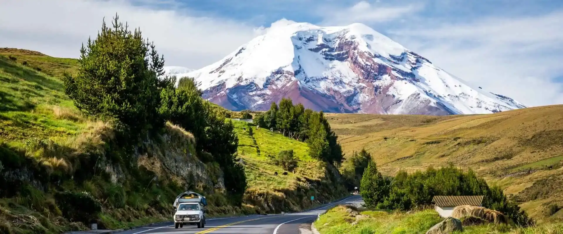 Ecuador Travel Tips: What to Know Before You Go (2026)Ecuador travel tips from people who live here: where to go, how long you need, what it costs, safety, money, altitude and the mistakes first-timers make.
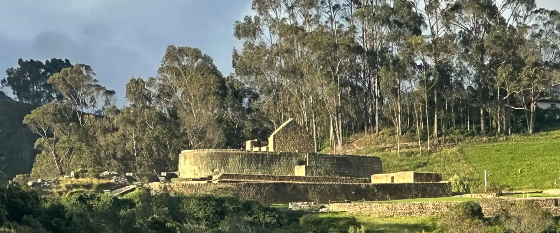 Ingapirca from Cuenca: The Ultimate Guide to Ecuador’s Inca Ruins (2026)Ingapirca from Cuenca with the current rules: the $2 ticket with guide included, Wednesday to Sunday hours and the honest tour vs bus math.
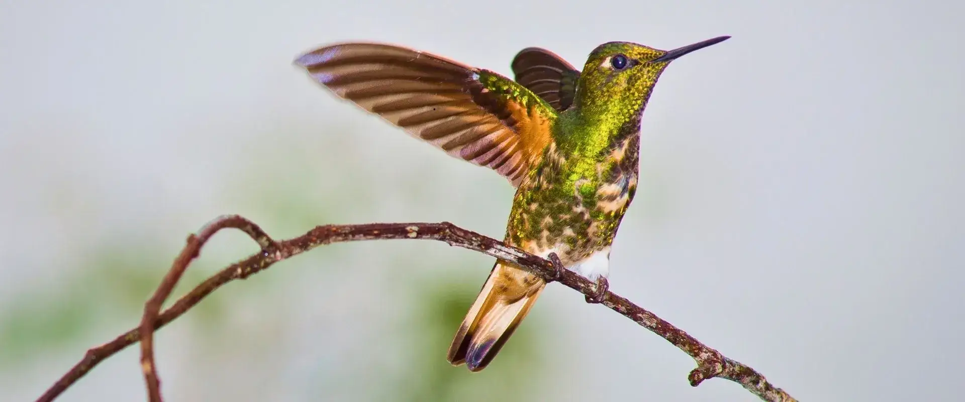 Hummingbirds of Ecuador 2026: 132 Species, Real Cloud Forest SpotsHummingbirds of Ecuador: 132 species, 2nd after Colombia. Real 2026 cloud-forest spots: Mindo, Mashpi, Yanacocha, Guango. Quito guide.